
Walk an O'Fallon Street
A useful O'Fallon street directory search builds evidence in layers. The assessor identifies a taxable parcel and named owner, while county GIS fixes that parcel on the street. Neither proves who is inside a home today. A deed adds a dated transfer, and a historical directory adds a dated household entry. The state voter tool can confirm a person already known to the searcher, but it cannot browse a block.
- Enter a house number range, street, and city in the St. Clair County property search. Save each parcel number and owner name.
- Open the area in county GIS. Compare parcel edges, address points, street centerlines, and incorporated-place boundaries.
- Use the current owner and parcel in the Recorder index. Follow the seller and prior legal description for earlier title.
- Confirm a known voter only through the state form, which requires name, birth date, ZIP, street number, and street name.
- For old occupants, consult library newspapers and the Historical Society's directory and Progress indexes.
Keep the parcel ID attached to every note. Street names and numbers can vary, while a legal description can bridge a split lot, annexation, or map change. Record the date shown by each source. A tax roll, deed, permit, and directory entry may describe different moments.
Start with a short run of numbers, especially where a long road crosses a city line or tax district. Save the spelling returned by wEdge and compare it with the centerline label. If one number is missing, check for vacant land, a combined parcel, a road parcel, common ground, or a legal-description index. Label each match with its source and date. That keeps a current assessed owner separate from an earlier grantee, an old directory householder, or a permit applicant. It also makes later questions precise enough for city or county staff to answer.
Search O'Fallon Streets in wEdge
The St. Clair County Property Tax Inquiry, known as wEdge, is the best first stop for a modern by-address search. Its Address tab accepts low and high house numbers, which can form a parcel list for part of a named street. The Basic tab accepts an owner or 11-digit parcel number. During research, the portal displayed data current through August 22, 2026, but its historical online cutoff was not stated.
| Tab | Field | Format | Street use |
|---|---|---|---|
| Address | House Number Low / High | Number range | Build a parcel run |
| Address | Street Name and City | Text | Limit to O'Fallon |
| Basic | Parcel Number or Owner | Text | Reopen one result |
| Sales | Sale Price and Date | Ranges; MM/DD/YYYY | Compare transfers |
| Advanced | Township, District, Tax Year | Lists and ranges | Refine tax context |
A parcel card is an ownership and assessment record, not a household roll. Property class, exemptions, assessed values, and the tax mail-to address can support a search, but none proves residence alone. Assessor staff in Belleville can answer property-card and ownership questions when the portal is unclear.
The county parcels and maps hub shows where the map and tax routes meet.
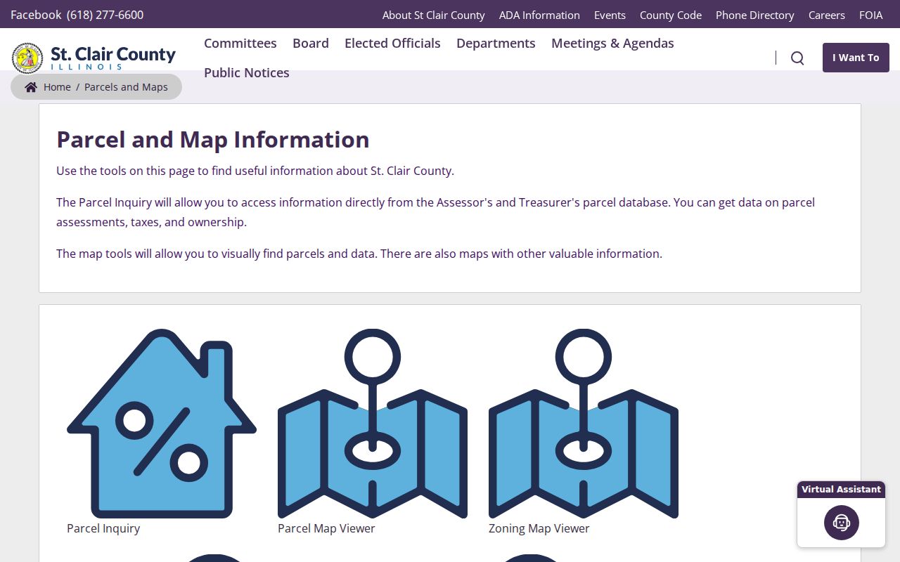
The captured hub reinforces the handoff: identify the parcel on a map, then read the official property record.
Map O'Fallon Street Records
The St. Clair County GIS department confirms layers for parcels, address points, street centerlines, incorporated places, townships, precincts, and county board districts. Those layers distinguish a postal O'Fallon address from a parcel within city limits. They also reveal corner lots, rights-of-way, common parcels, and splits that can make two apparent neighbors legally separate.
The interactive viewer did not expose its exact popup, select, measure, or export controls during research. Recheck the live interface before relying on a button. Map one address point to its parcel, note adjacent IDs, then verify them in wEdge. GIS gives spatial context; the assessor remains the ownership source.
The county's GIS parcel viewer supplies the visual layer.
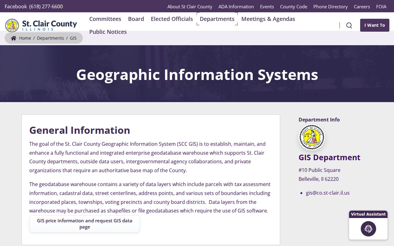
The captured viewer works best beside a saved parcel list, because its geometry shows which tax records touch the same block.
Separate O'Fallon Address Fields
St. Clair County Mapping and Platting maintains both the property address and tax-bill mailing address. The property, or situs, address marks the physical parcel. The mailing address says where tax mail goes and may belong elsewhere. Confusing them can put the wrong person on an O'Fallon street.
- Parcel
- A mapped unit of land with a county ID.
- Situs address
- The physical street location of the parcel.
- Plat
- A recorded map showing lots, blocks, streets, or subdivision lines.
- Criss-cross directory
- A historical directory arranged by street and address.
No official O'Fallon-wide renumbering year was located. When an old number fails, compare direction, suffix, parcel history, plats, and legal descriptions. Search O'Fallon, O Fallon, and OFallon when old OCR or portal fields handle punctuation differently.
The Mapping and Platting page is the official address bridge.
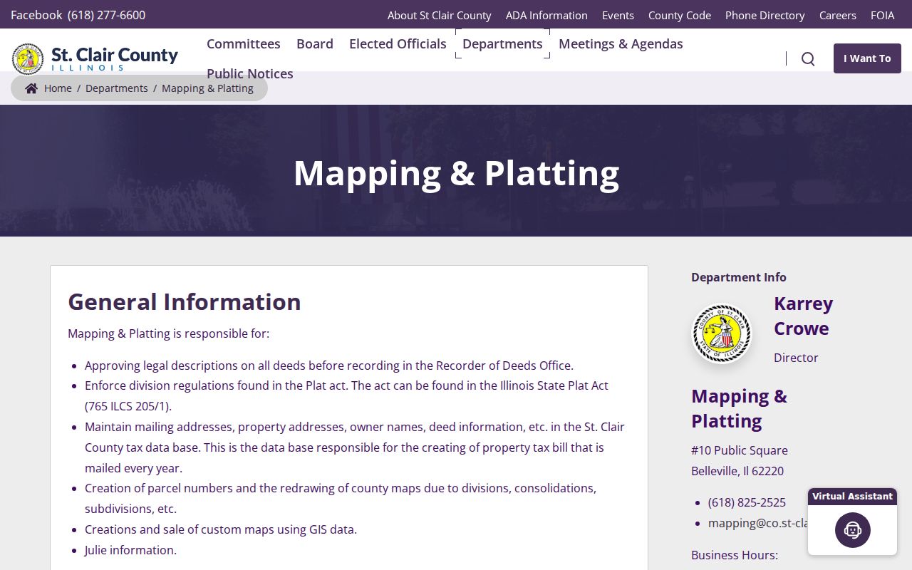
The office can help when today's number does not align with a deed, plat, or older entry.
O'Fallon Records Keyed by Street
No single O'Fallon street directory holds owners, occupants, construction, and historical households. These record sets have distinct keepers and limits. Parcel numbers connect maps to tax and deed files. A street address connects permits and dated directories, but may need a spelling variant.
| Address record | Keeper | What it establishes | Access route |
|---|---|---|---|
| Parcel card | County Assessor | Owner, parcel, address, sales | wEdge, phone, counter |
| Parcel map | County GIS | Geometry, neighbors, districts | Public viewer |
| Deed or plat | Recorder of Deeds | Parties, date, legal description | AVA, paid images, workstations |
| Permit or code file | Community Development | Project or complaint context | Reports, office, city FOIA |
| Historical directory | Library and Society | Dated names and addresses | Digital, microfilm, museum |
Online access is one channel. County offices offer counter and phone help. Recorder copies may be requested by phone, email, or mail. The library and Historical Society answer reference questions. A narrow request under the Illinois Freedom of Information Act can seek non-posted city records, subject to exemptions and fees.
Trace O'Fallon Deeds by Street
The Recorder remote-access page separates three routes. AVA is free and index-only. Tapestry EON and Laredo offer paid searching or images. Seven public workstations in Belleville allow free searching, and staff can show the indexes. Most online images are described as January 1986 forward, while recorded history reaches the late 1790s.
Search the current owner as grantee, the party receiving a deed. Note the grantor, document number, date, legal description, parcel, and prior instrument. Then search that seller as an earlier grantee. If land was divided or joined, follow the old lot, block, plat, or legal description instead of the modern street number.
Counter advantage. “Not visible online” does not mean unavailable; the Belleville workstations and older books may extend an O'Fallon search.
Recording does not itself prove an instrument valid, settle a boundary, or guarantee clear title. Describe what the index records without making a legal conclusion.
O'Fallon Permits Add Dates
The O'Fallon permit page routes building, occupancy, sign, right-of-way, water, electrical, and related work through Community Development. The portal required an account and did not expose anonymous results. Posted reports cover some activity; the office or a focused records request is the fallback.
The permit categories appear on the official city page.
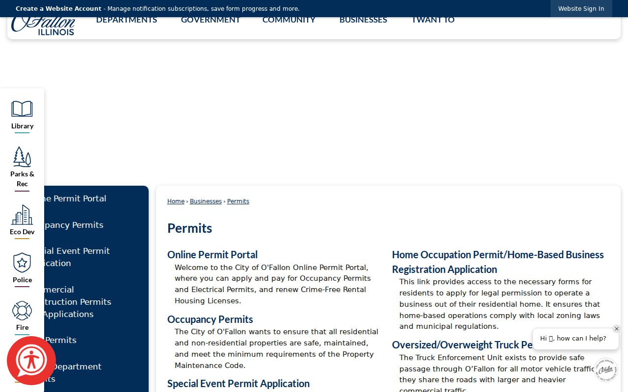
The capture routes users to dated property work, not a list of occupants.
The code and property complaint page gives another address route.
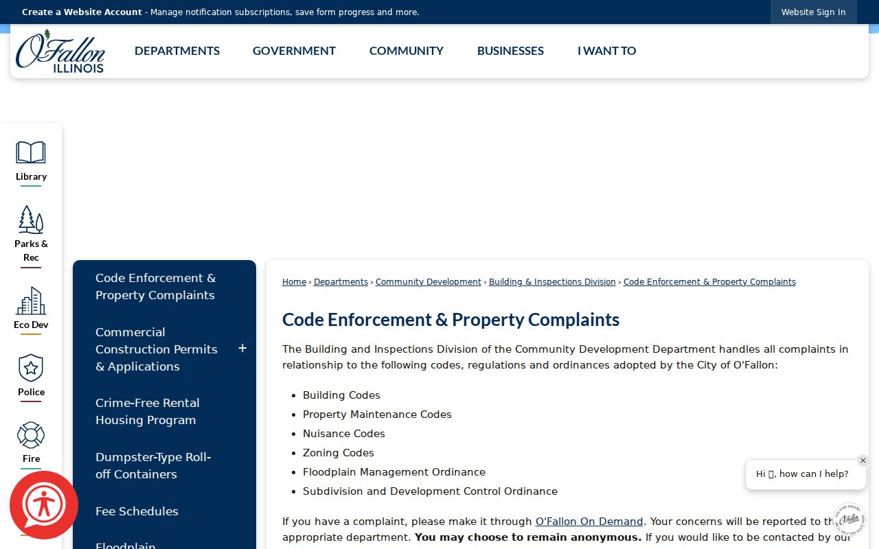
A complaint is an allegation or service record, never proof about a household.
For a request, give Community Development one exact address, a useful date range, and the kind of file sought. Ask whether inspection is available before ordering copies. City records can contain exempt or private material, so a released file may be redacted. County tax or deed offices will not hold the city's permit file, and the city permit desk will not replace the county title index. Keeping the custodian straight saves time and prevents a project date from being mistaken for an ownership date.
Old O'Fallon Street Households
The 1929 Polk sample held by the O'Fallon Historical Society records spouse names in parentheses, work or business, householder or resides, and exact addresses. Directional forms matter. Repeated names at different addresses show why a surname alone is unsafe. Pair an old address with Progress notices, census schedules through 1950, 1921 Sanborn maps, cemetery files, and deeds.
The O'Fallon city directory collection covers edition runs and entry marks in depth. For one street, retain the year and printed wording. An entry may omit people who were absent, unlisted, or recorded under another spelling.
O'Fallon Street Names Across Eras
Historical address searches need more than one spelling. The 1929 directory sample uses directional forms such as E State, E Adams, E Washington, E 4th, N Lincoln, and W Lincoln. Newspaper OCR may drop punctuation from O'Fallon, while a county field may require a standardized suffix or direction. Search the exact printed form first, then try the full direction, the abbreviated direction, and versions without punctuation.
No official citywide street-renumbering date was found in the research. Do not invent one to explain a mismatch. Bridge an older address with the parcel number, legal description, recorded plat, county address-point layer, and directory entry. Mapping & Platting is the county office that approves legal descriptions, creates parcel numbers, and redraws maps after divisions, consolidations, or subdivisions.
Road work can also change present-day context without changing the historical record. O'Fallon's 2026 State Street and Obernuefemann notices identify work near Highway 50, the CSX tracks, a roundabout, and Ogle Road. Preserve the record date before comparing a modern map with an older street entry.
Limits of O'Fallon Street Lookup
Property records identify owners, not all residents. Illinois voter confirmation requires a known name and details; it is not a public street roster. Public voter data redact street number, full birth dates, phones, Social Security numbers, identifiable email, and protected fields. Address Confidentiality Program participants receive added safeguards. Utility customer lists and motor-vehicle addresses are not ordinary public street-directory sources.
Ownership may sit in a trust, company, estate, or distant mailing address. A permit applicant may be a contractor. An old directory might name one householder while omitting others. Say “recorded owner,” “directory entry,” or “known voter confirmation” instead of declaring a full household.
Lawful use. Use O'Fallon address records for lawful personal, family, property, or civic research. Never use them to stalk, harass, threaten, or harm anyone.
Note: When safety or confidentiality may be involved, stop the search and rely only on information an official custodian lawfully releases.