
O'Fallon ZIP Coverage Explained
ZIP 62269 is the confirmed primary postal ZIP for O'Fallon. The Census city profile also returns relationships with ZCTAs 62208, 62225, 62232, and 62254. A ZCTA is a Census map area modeled from blocks, not a USPS promise that every address in that polygon uses the same city name. The distinction prevents a common error: publishing five codes as though each broadly serves O'Fallon.
| ZIP or ZCTA | Relationship to O'Fallon | Post office or place | Search note |
|---|---|---|---|
| 62269 | Primary O'Fallon postal ZIP | O'Fallon, 1111 S Lincoln Avenue | Verify ZIP+4 with USPS |
| 62225 | Census ZCTA relationship | Scott Air Force Base | Do not rewrite the postal last line |
| 62208 | Census ZCTA relationship | Fairview Heights | Not an O'Fallon-wide ZIP |
| 62232 | Census ZCTA relationship | Caseyville | Use address-level USPS lookup |
| 62254 | Census ZCTA relationship | Lebanon | Nearby mapped relationship |
The USPS city-and-state form could not be completed automatically during research, so no claim is made that it returned all five codes for O'Fallon. This ZIP code directory labels the neighboring codes as Census relationships. It reserves “postal ZIP” for a USPS-supported delivery result.
That labeling is essential when searching names or properties. A record carrying 62225 may belong under a Scott Air Force Base postal last line, while 62208 points toward Fairview Heights postal geography. The Census relationship helps explain map proximity, but only the full street address can settle delivery. Treat 62269 as the firm O'Fallon starting point and the other rows as prompts for address-level checks.
O'Fallon Postal Geography Differs
O'Fallon lies in St. Clair County, whose seat and main records counters are in Belleville. Nearby postal names include Fairview Heights, Scott Air Force Base, Caseyville, and Lebanon. One address can therefore have different city, county, township, precinct, tax-district, and postal labels without any record being wrong.
Polling-place documents use 62269 for familiar O'Fallon civic sites, including the township building and library. That is useful local context, but it does not prove that precincts follow the postal line. County GIS must map incorporated places and precincts separately. No official O'Fallon ZIP split or realignment year was found, so none should be inferred from an old address.
Geography rule. Use USPS for delivery, county GIS for city limits, and the parcel number plus legal description for property continuity.
Search O'Fallon USPS Fields
The official USPS ZIP Code Lookup offers three questions. Address mode finds the code for one location. City-and-state mode returns ZIP associations for a postal city. Cities-by-ZIP mode returns city names tied to one code. A result does not confirm that a person or company occupies the address.
| Lookup mode | Fields | Required | What it resolves |
|---|---|---|---|
| By Address | Company | No | Optional business context |
| By Address | Street, city, state | Yes | Postal ZIP for one address |
| By City and State | City and state | Yes | ZIP associations for a postal city |
| Cities by ZIP | Five-digit ZIP | Yes | Postal city names tied to a code |
Preserve the exact postal last line USPS returns. If several addresses match, narrow by unit or street detail. Then use a county map if the real question is whether the parcel lies inside O'Fallon's incorporated boundary.
An O'Fallon ZIP code directory also benefits from saving the lookup mode used. A city-and-state association is broader than an address result, and a Cities-by-ZIP answer may list acceptable postal names without drawing municipal limits. Copy the result as shown instead of changing it to the city name expected from a map.
Find O'Fallon Records by ZIP
Official portals treat ZIP in different ways. The state voter form uses it as one required identifier before street controls load. IDFPR uses it as a contact-location filter for licensed people and entities. The state police registry offers a specialized geographic filter. St. Clair County wEdge showed no ZIP field during inspection, so its City and address searches are not ZIP-wide searches.
- Verify the full address with USPS. Save its postal city, five-digit code, and ZIP+4 if returned.
- Check the parcel in wEdge by city, street, and house number. Keep situs and tax-mail addresses separate.
- Open the county GIS viewer for parcel, address-point, city-limit, precinct, and district context.
- Use a ZIP-capable person portal only for its stated purpose. Confirm a known voter or check a professional credential.
Once a postal area is narrowed, the O'Fallon street directory handles house-number ranges, parcels, deeds, and street variants. A ZIP code directory cannot replace that address chain.
County Mapping and Platting is the right fallback when the parcel or address bridge is disputed. It creates parcel numbers, maintains property and mailing address data, and uses Recorder, County Clerk, and 911 information. That office can connect a legal description to current tax data without treating the ZIP as the controlling land boundary.
ZIP Unlocks O'Fallon Voter Streets
The Illinois voter lookup begins with first name, last name, birth date, and five-digit ZIP. After a ZIP selection, street number and a dynamically populated street-name list appear. The form confirms a known person's registration match. It does not provide an open roster of everyone on an O'Fallon street or within 62269.
| Field | Requirement and format |
|---|---|
| First and last name | Required personal identifiers |
| Birth date | Required as MM-DD-YYYY |
| Five Digit Zipcode | Required, five characters |
| Street number | Required after ZIP loads |
| Street name | Required dynamic dropdown |
The St. Clair County voter resources page supports the official local route.
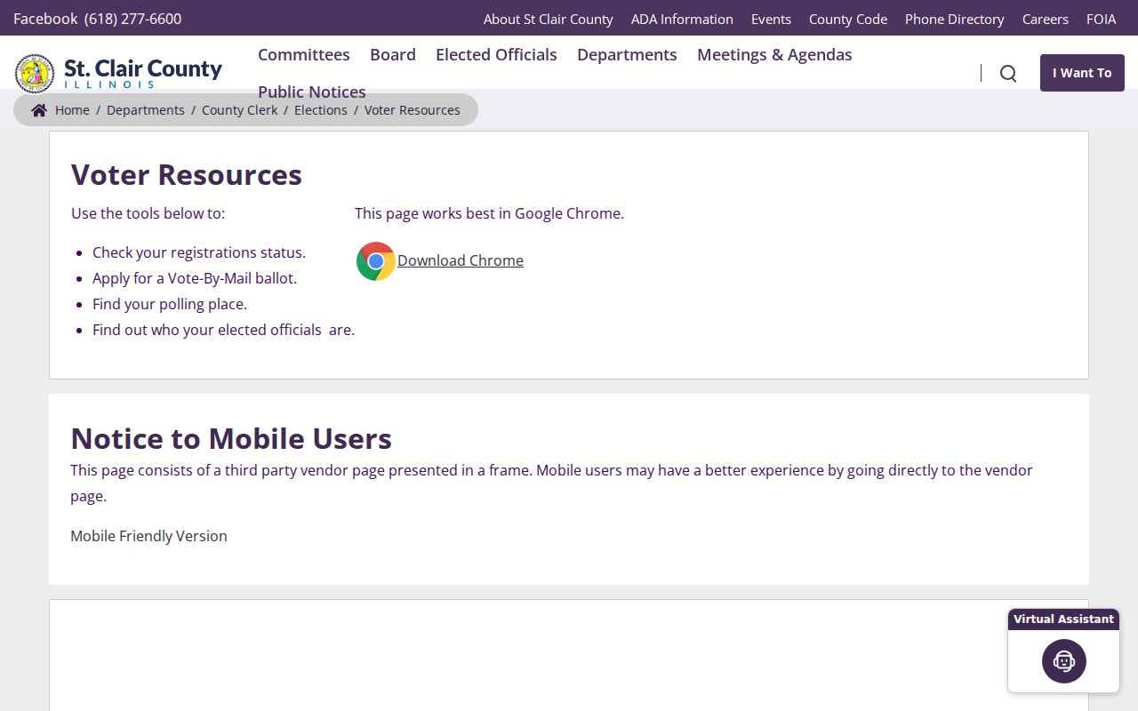
The county resource hub helps with registration and election tools without turning a postal code into a public resident list.
Illinois voter-list rules also redact sensitive fields from ordinary public access, including street number, full birth dates, phone numbers, and identifiable email addresses. The lookup's ZIP step narrows a private confirmation transaction. It does not create a downloadable O'Fallon ZIP code directory of voters.
Downtown O'Fallon Uses 62269
The primary postal code appears across O'Fallon's civic and downtown addresses. Even so, a downtown label is a community description rather than a parcel, precinct, or carrier-route boundary. Use county address points and incorporated-place layers for exact geography. Historic directional streets, including State, Lincoln, Adams, Washington, and Fourth, may require abbreviation variants in older directories.
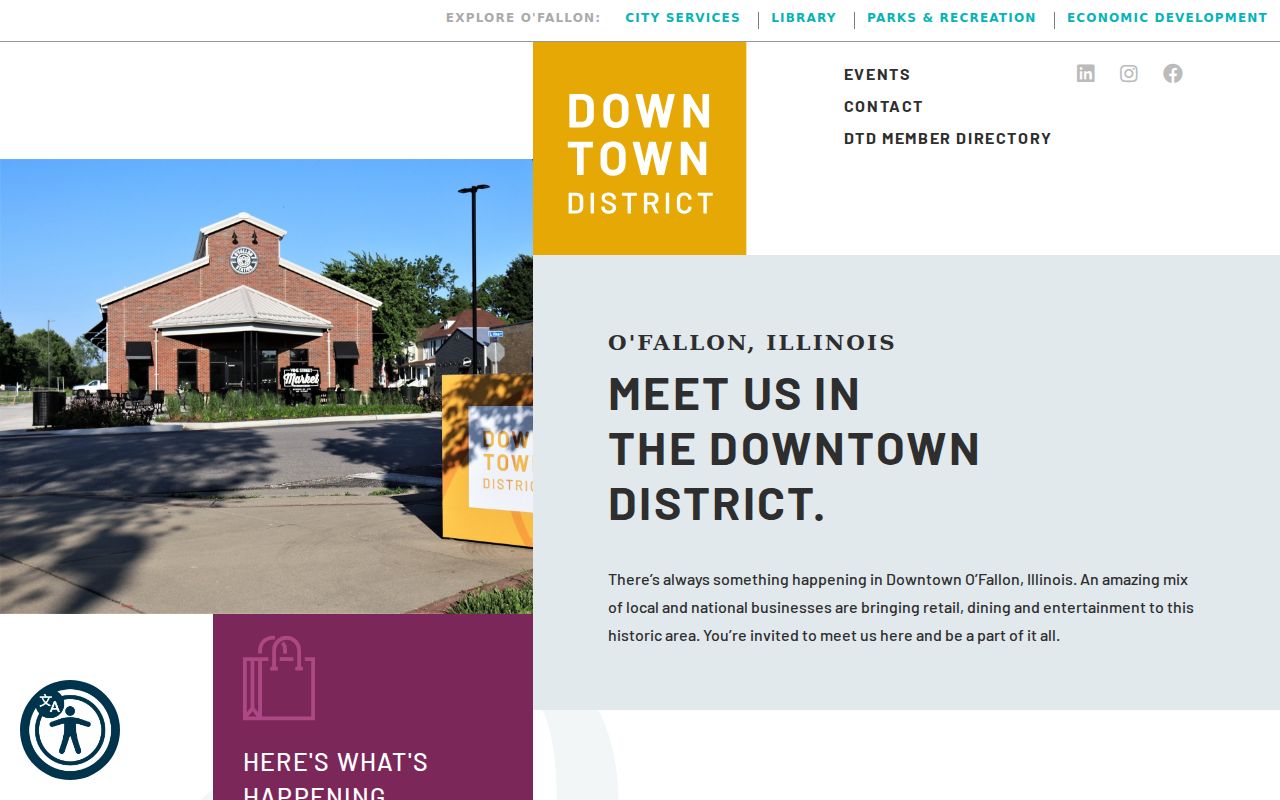
The district adds place context, while USPS and county records remain the sources for a precise mailing code and legal location.
O'Fallon Staff Search Is Different
A municipal directory and a ZIP code directory answer different questions. The city's staff tool searches public personnel by category, first name, and last name. It helps identify the office responsible for an address, map, permit, or records request. It does not browse private residents or prove that a staff contact lives within a postal code.
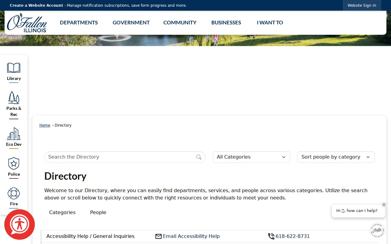
The staff directory is the handoff when a postal question becomes a city addressing, planning, mapping, or custodian question.
For disputed continuity, County Mapping and Platting maintains property address, mailing address, owner name, deed information, and parcel creation in the tax database. Recorded plats and annexation documents are stronger bridges than assumptions based on a postal last line.
O'Fallon ZIP and City Limits
A USPS ZIP follows delivery operations. A city limit marks legal incorporation. A Census ZCTA is a generalized polygon used for statistics. Those three shapes may overlap without matching. An O'Fallon postal code can reach beyond the city, while an incorporated parcel may carry a neighboring postal name. The assessor's City field is a locality search, not a ruling on USPS delivery geography.
- ZIP and ZIP+4
- A ZIP is the five-digit delivery area; ZIP+4 narrows a delivery segment for a specific address or group.
- PO-box ZIP
- A code used chiefly or solely for post-office boxes rather than ordinary street delivery.
- Unique ZIP
- A code assigned to one high-volume organization or institution.
- Carrier route
- The group and order of deliveries assigned to a postal carrier, not a municipal district.
- ZCTA
- A Census approximation of ZIP geography assembled from blocks for mapping and statistics.
Note: USPS validates an O'Fallon mailing address, while St. Clair County GIS and legal parcel records resolve incorporated and property boundaries.